Ten years have passed since the Virginia Department of Transportation analyzed the Route 151 corridor in Nelson County and now it’s time for another study to begin. Such work can help identify projects to address safety concerns, and the Nelson County Board of Supervisors got a briefing at their meeting on Tuesday.
“And I’m happy to say that we’ve had success not only through the Highway Safety Improvement Program but also through Smart Scale getting a number of projects vetted and fully funded and constructed along this corridor,” said Rick Youngblood is a planner with the Virginia Department of Transportation’s Lynchburg District.
“There’s still more work to be done and that’s why we’re looking at this study again,” Youngblood said.
The firm RK&K is working with VDOT on the study, which Youngblood said is not a land use study. The land use work will be done separately as part of the county’s Comprehensive Plan review that is under way. That’s not directly related to this study.
“The part of the study aspect is not to define future growth or the possibility for future growth,” Youngblood said. “We’re trying to correct the measures and issues that are on there now in preparation for the future based upon the data that we collect.”

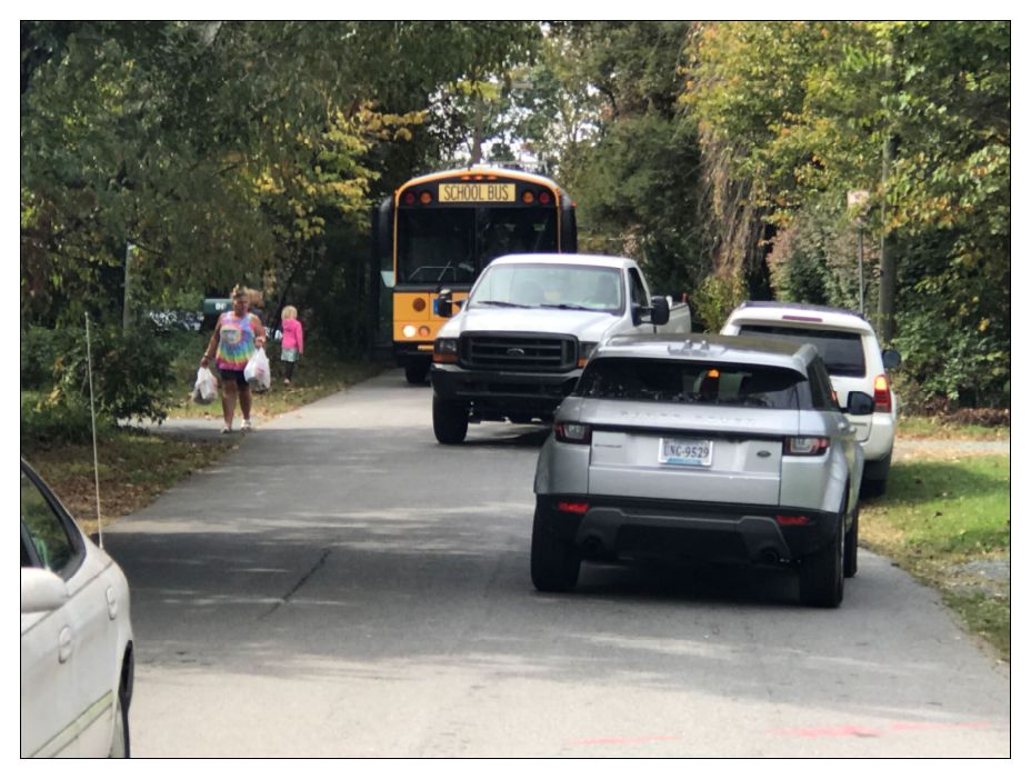
This study will cover a fourteen mile stretch from Afton Mountain Road to about two and a half miles south of Beech Grove Road. They will look at crash data and locations as part of the work.
“Seven intersections total and these are what we call [Potential Safety Improvement] intersections,” Youngblood said. “They meet a certain metric to be identified as a high accident intersection. We are aware that there are other intersections that have come up.”
A stakeholder meeting for the study took place in mid-January and Youngblood said data collection is about three months behind schedule in advance of going to the public for comment. There will eventually be an online survey as part of the public involvement.
“We’re hoping to be able to catch folks that are coming through the area as well and not just those that live in the area,” Youngblood said.
The 2013 study included some recommendations for multimodal improvements such as bike lanes, particularly in the Nellysford area. Currently there are almost none. Youngblood characterized the landscape.
“You’ve got rolling terrain, you’ve got short shoulders, there are crossover accidents, there are road departures, there are no bike-pedestrian facilities throughout the corridor,” Youngblood said. “Mind you, when these recommendations come up they will be pricey. Bike and ped specifically. Bike and ped facilities are pricey and expensive and they are high-maintenance.”
A website will be created for the study and there will be two public meetings that are not yet scheduled.
Additionally a project to convert the intersection of Route 151 and Route 6 has been recommended for funding in the current Smart Scale round.

Before you go: The time to write and research of this article is covered by paid subscribers to Charlottesville Community Engagement. In fact, this particular installment comes from the February 17, 2023 edition of the program. To ensure this research can be sustained, please consider becoming a paid subscriber or contributing monthly through Patreon.
Discover more from Information Charlottesville
Subscribe to get the latest posts sent to your email.