The current schedule is for the Albemarle County Board of Supervisors to adopt a Comprehensive Plan on October 15 following a public hearing after 6 p.m. That will end a review process that began in November 2021, though the plan will not go into effect until the beginning of the year.
Resources if you’d like to read it and make a comment:
- Summary of Document Changes from Revised AC44 Draft – September 2025
- Part 1 – Plan Policy
- Part 2 – Growth Management Policy
- Part 3 – Implementation
- Part 4 – Appendix
- Resolution to adopt AC44
Listen to this story:
The Planning Commission had their public hearing on September 30 and recommended approval 6 to 0 with one member absent. They offered some minor suggestions which were largely accepted by the Board of Supervisors after they had a final work session on October 1.
At that meeting, Supervisor Ann Mallek said she still had some concerns over a portion of AC44’s third section called “Potential Criteria for Assessing the Removal of Underperforming Areas from the Development Areas.”
At one point during the AC44 process, Supervisors had discussed the idea of swapping out land from the development area that was no longer being used. Two examples used were about 400 acres of land that is now part of Biscuit Run Park as well as the Village of Rivanna in eastern Albemarle.
“There was discussion about the idea that was thrown out about swapping territory but little criteria to make it ready in my opinion for being included,” said Supervisor Ann Mallek. “Unfortunately we didn’t have a full fledged full throated debate at that time.”

Mallek said she wanted AC44 to be clear that this was a preliminary idea and to use language similar to that used for a hypothetical “ ” program. She said putting something unvetted in the plan could open up the doors to a series of expansion proposals coming forward prematurely.
Supervisor Jim Andrews said he appreciated comments from Planning Commissioner Lonnie Murray that the criteria were incomplete and he understood staff were working to suggest new language.
“But in light of the lack of opportunities to really review those in detail, making sure that this has potential criteria, including, but not limited to suggestive, at least that there are a lot of other criteria that need to be considered,” Andrews said. “And I’m sad that we’re not trying a little harder on that.”
Supervisor Bea LaPisto-Kirtley said she wanted the language to be flexible to meet the county’s needs in the future. For instance, she said it could be that each swap might not be on a one-to-one ratio.
“My understanding of a land swap is not acre per acre. It could be, for example, let’s say 5 acres of development land is swapped for maybe 1 acre of rural land,” LaPisto-Kirtley said.
LaPisto-Kirtley said the Board had said the development area boundaries would not change this time around.
“However, I think we need to keep an open mind for the future because we know it’s not going to happen now, but keep an open mind in the future not to hamstring ourselves,” LaPisto-Kirtley said.
Since the first work session on the full AC44 draft, the word “Potential” was added to Page 12 of the growth management policy and Supervisor Ned Gallaway expressed concern about that addition.
“When I read that’s potential criteria for assessing, it’s very wishy-washy,” Gallaway said. “IF we’re just doing that to appease fears, then we can state that and I won’t stand in the way of doing it.. But that appeasing [of] fears does not get to planning and process and criteria and the work that has to be be done.”

Changing that Sweet Spot
During the Planning Commission’s hearing on September 30, the owners of land at the southwest quadrant of Interstate 64’s interchange with U.S. 29 asked for their land to be designated in the Comprehensive Plan as Community Mixed Use rather than Industrial.
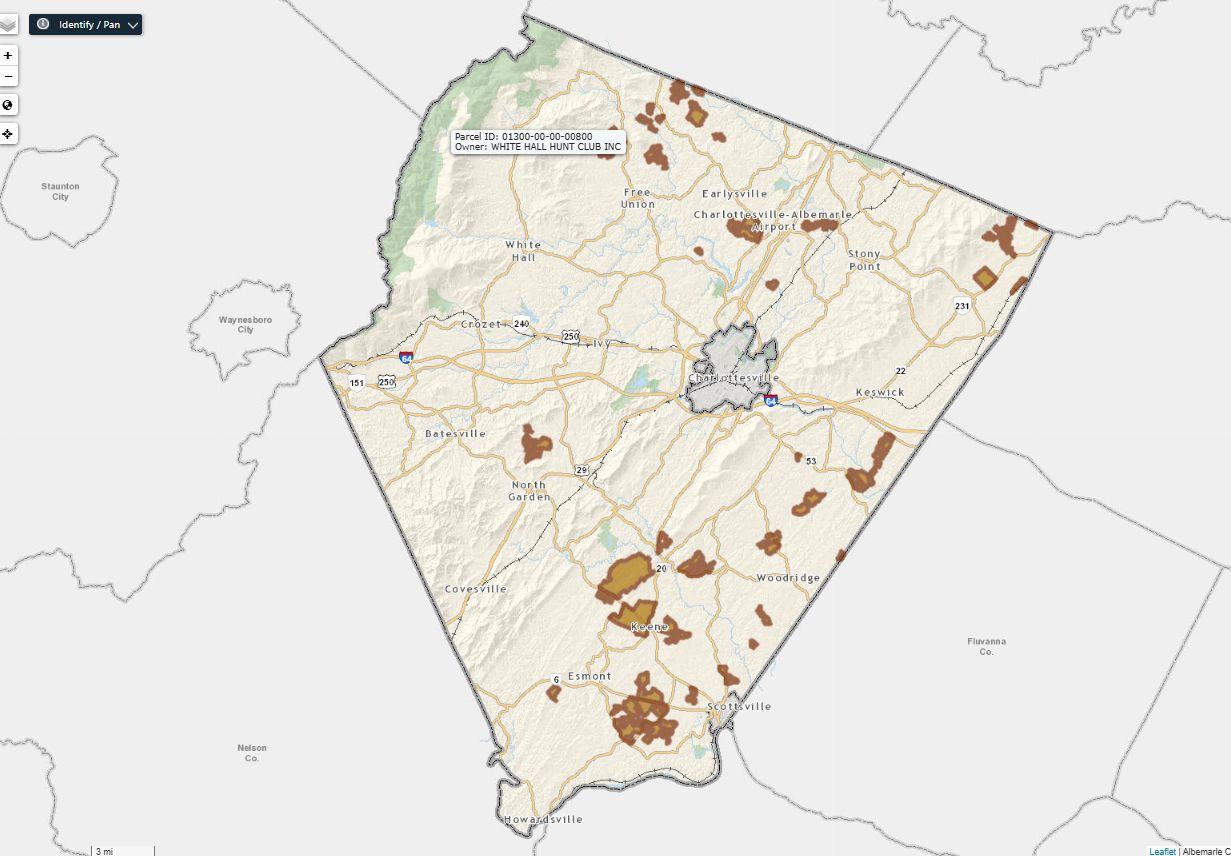
An 82.61 acre parcel of land owned by Sweet Spot LLC is to the west of property being considered for a rezoning but is not part of that proposal. It was added to the development area in 2015 and is eligible for connection to public water and sewer.
“I could be willing to consider it on the merits here, but it feels like an odd juncture,” said Supervisor Michael Pruitt.
Supervisor Diantha McKeel supported the change arguing that this land is in the growth area.
“I see this as a development land or land in the development area that needs to be developed,” McKeel said. “Just changing the map designation, it’s still going to have to go through a zoning.”
The land is currently zoned Residential-1 and had originally been in Riverbend Development’s proposal for the Sieg property. The company deferred action after a public hearing before the Planning Commission on September 9.
Both Mallek and Andrews said they would need more information first. Andrews noted Supervisors have not yet approved any rezoning at the Sieg property.
“To start making changes at this point in the comprehensive plan as opposed to waiting until we have the application before us and a chance for people nearby to weigh in and others might be concerned in the community that it’s, it’s the wrong time,” Andrews said.
At one point it appeared Supervisors were divided on the request and the map change would not move forward at this time. Toward the very end of the discussion, McKeel made a motion to change the designation to Office/R&D/Flex/Light Industrial which also allows between six to 34 residential units per acre.
“I’m going to do a Hail Mary here before we leave,” McKeel said, resulting in a 4-2 vote in favor with Mallek and Andrews voting against.
Sometime after AC44 is adopted, staff in Albemarle’s Community Development Department are going to come back to the Board on a new mechanism to allow landowners to ask Supervisors for individual changes to the growth area.
“It’s our intention to provide a process where the [Comprehensive Plan] amendment and the zoning map amendment come to you in a packet,” said Jodie Filardo, Albemarle’s Community Development Director. “And so that way you’re not approving or asking to approve a comprehensive plan amendment or a [Future Land Use Map] amendment without understanding what the owner is wanting to do with the property.”
Filardo said this process is not currently called for in AC44 but will be developed soon after adoption.
Questions about any of this? Please ask in the comments.

Before you go: The time to write and conduct research for this article is covered by paid subscribers to Charlottesville Community Engagement. In fact, this particular installment comes from the October 13, 2025 edition of the program. To ensure this research can be sustained, please consider becoming a paid subscriber or contributing monthly through Patreon.
Discover more from Information Charlottesville
Subscribe to get the latest posts sent to your email.