


Albemarle County continues to go through a process to review the Comprehensive Plan that is taking a new look at long-held policies that sought to control where intense development happens.
The AC44 process is currently in the second of four phases, and the Planning Commission discussed four specific topics at their meeting on August 8.
The first toolkit covers “activity centers” as you can read about here. The toolkit second covers potential criteria that may be used to determine where the growth areas would be expanded.
“The current plan recommends monitoring development areas’ estimated capacity for future residential and business demand with high-level guidance on when an expansion may need to be considered,” said Tori Kanellopoulos, a principal planner with the county.
The current plan does not talk about the how and where expansion might happen. Kanellopoulos said the AC44 process hopes to add more information for that future decision.
“The updated plan could include factors for how and where to expand including infrastructure considerations, protection of natural resources and water supply watersheds, and expectations of future development patterns,” Kanellopoulos said.

Kanellopoulos said the AC44 process could include mapping out potential areas. The Planning Commission had weighed in with general direction earlier this year.
“During the April commission meeting, the Commission asked the AC44 team to consider locations of high-quality natural resources in the rural area, including resources identified in the Biodiversity Action Plan,” Kanellopoulos said. “At the previous meeting, several commissioners discussed a desire not to expand the growth area if there are remaining developable areas in the current development areas as having more limited land can encourage more efficient use of that land.”
The commission had three options to review:
- Make no changes from the current plan in AC44
- Continue to develop factors for future expansion as well develop metrics but not make those changes in AC44
- Apply the factors to maps depicting future locations for expansion as well as possible time frames, but not actually designating them during AC44
Staff recommends the latter option in order to allow the Rivanna Water and Sewer Authority to plan for expansion.
“With any option that is pursued for this topic, staff wants emphasize that efficient use of the development areas should continue to be prioritized over expansion while recognizing that at some point it is likely the development areas will need to be expanded to accommodate future housing and business needs,” Kanellopoulos said.
Kanellopoulos said no matter the option, staff is indicating that some expansions may happen in certain cases such as adding portions of some neighborhoods that are currently divided by the boundary, as well as bringing county-owned land into the growth area.
Commissioner Julian Bivins (Jack Jouett District) said he thought it would be prudent to produce the maps to inform decisions in the future.
“I think right now there’s an agreement that there’s not going to be an expansion of the development area today, but I think it is helpful to say where it could and how the Planning Commission of 2024 and the Supervisors of 2024 suggested that there are the criteria that might be considered,” Bivins said.
Commissioner Corey Clayborne said he thought Albemarle should keep an open mind when it comes to the county’s needs for the future, particularly for economic development. He said he was concerned that Albemarle only has one Tier 4 site as rated by the Virginia Business Ready Sites Program.
“My rhetorical question to that is, what kind of amazing jobs and employment are we sacrificing because of that?” Clayborne asked.
Commissioner Nathan Moore (Rio District) supported the pursuit of option 3 in part because he said much of the remaining land may not be suitable for intense development.
“It makes a lot of sense to me to plan for when we might grow that,” Moore said. “I’m not saying ‘let’s pave the county.’ No one is saying that. But if we want enough land for the people who live here and the people who are going to live here and the people who are going to move here because they need to from all kinds of things, we have to think about when that might happen and what might trigger it.”
Commissioner Fred Missel (Scottsville District) said much of the discussion comes down to timing. He said he would support analyzing potential expansion areas but not until a longer time frame.
“My feeling is generally that the idea of expanding development areas first triggers a reaction which is: ‘Oh no! We want our county to stay the way it is. It’s beautiful. This is the camel’s nose under the tent and if we do this it’s going to be all over.’” Missel said. “And what I would say is that I sort of caution myself to think what this is doing is causing us to be very thoughtful about preservation as it is about development expansion.”
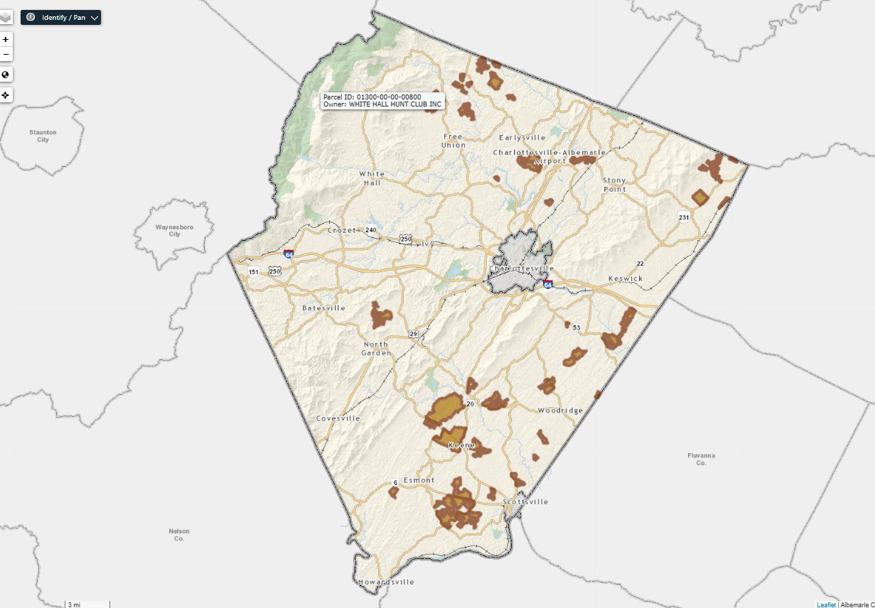
Missel said water and sewer capacity must drive that conversation as well as plans Virginia Department of Transportation. He also said he was concerned about any maps that depicted specific parcels to add to the growth area.
“Somebody starts seeing their parcels identified as the future development area, it’s going to start messing with the market a little bit,” Missel said.

Commissioner Karen Firehock did not support the staff recommendation to begin mapping exercises.
“I don’t support option 3 because I don’t want to see a map,” Firehock said.
Firehock claimed a 51-acre expansion of the development area in September 2015 for a potential brewery just south of the U.S. 29 / I-64 intersection led to a series of speculative sales calls. (Read that story on listed as “uncategorized” on a website I worked for from 2007 to 2018)
“Developers came and gave out slick brochures to people who were even way past that, a mile past that, saying: ‘Hey! I’d like to buy your land because potentially if they’re going to rezone that, well guess what, they’ll probably do this!” Firehock said.
There was also a conversation about how to encourage developers to build at the higher density ranges allowed under the Comprehensive Plan. County staff have cited a figure that rezoned properties are built out at an average of 58 percent of the total capacity allowed.
Bivins said that not everybody in the community is on board with that many people in one place.
“Some of us have been on the Commission long enough to have where somebody wanted to bring a higher density project and that got shouted out of the room basically,” Bivins said. “The issue is not sometimes that the developers have a lack of wanting to do something. It’s that our community goes after them if they suggest something close to 90 percent of the density or 80 percent density.”
By the end of the conversation, the Commission seemed to reach a consensus of somewhere between Option 2 and Option 3. That could involve a generalized map that the Commission will be able to review again as the AC44 process continues.
There are two more toolkits to review.
Before you go: The time to write and research of this article is covered by paid subscribers to Charlottesville Community Engagement. In fact, this particular installment comes from the August 29, 2023 edition of the program. To ensure this research can be sustained, please consider becoming a paid subscriber or contributing monthly through Patreon.
Additionally, this was posted during a time I’ve upgraded to a new WordPress theme. Some things may not look as they should. But, it’s a fun experiment!
Discover more from Information Charlottesville
Subscribe to get the latest posts sent to your email.


One thought on “Albemarle Planning Commission weighs in on criteria to expand development area”