


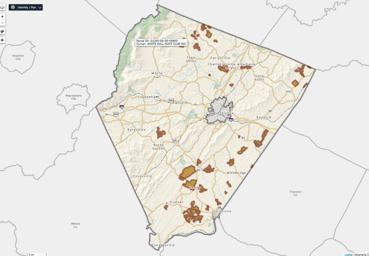
The highway-like character of U.S. 29 in Albemarle County southwest of Charlottesville will further change in the near future now that a rezoning has been filed for around 63.5 acres around the Virginia Eagle distribution center.
Riverbend Development is seeking a rezoning to the Neighborhood Model District to build several hundred apartment units.
“This project will include a mix of residential and commercial units, as anticipated by the Comprehensive Plan for this location,” reads the narrative for the application. “Approximately 475 residential units are proposed, primarily multifamily.”
Also proposed are a hotel, a congregate care facility, office buildings and retail.
The Board of Supervisors adjusted the county’s growth area boundaries in September 2015 to add 51 acres as part of an incentive package to attract a brewery to locate on the site. That was a lower amount than had been requested, and all of the property added to the growth area was within the jurisdictional areas for public water and sewer. (read the minutes from the September 23, 2015 meeting)
“At 64.36 acres, the Sieg property is strategically positioned at the crossroads of Interstate 64 and Route 29 and within the growth area of Albemarle County,” the narrative continues. “This land is ideally situated for a new mixed-use community with a variety of housing options, office sites, aging in place and retail destinations.”
The Comprehensive Plan designates the land as Regional Mixed-Use. Riverbend Development will pay to extend water and sewer to the properties.

U.S. 29 is considered by the Virginia Department of Transportation to be a Corridor of Statewide Significance.
A traffic light was installed in late 2020 on the southern side of the U.S. 29 and I-64 interchange as part of a Smart Scale funded effort to make the junction safer. That signal is about 1,400 feet away from Gold Eagle Drive, which would serve as one primary access point to the property with Shepards Hill Road serving as the second. The plans propose a “Green T” intersection which would halt southbound traffic on U.S. 29 at a second traffic light in the area.

Before you go: The time to write and research of this article is covered by paid subscribers to Charlottesville Community Engagement. In fact, this particular installment comes from the March 4, 2022 edition of the program. To ensure this research can be sustained, please consider becoming a paid subscriber or contributing monthly through Patreon.
Discover more from Information Charlottesville
Subscribe to get the latest posts sent to your email.


This story was updated to clarify the September 23, 2015 vote, which extended the growth area boundaries only to those lands that were already within the jurisdictional areas of the Albemarle County Service Authority.